
Mount Lebanon ZIP Code Directory Coverage
Mount Lebanon uses seven postal ZIP codes across its street ranges. The municipality’s Ward/District Locator is the local source for connecting a street and house range to a ZIP, ward, and district. It is an alphabetical table, not a free-text map. A delivery address should still be checked with USPS, because the table is a municipal geography reference and a postal route is assigned to the individual address.
| ZIP code | Municipal street-range examples | Postal reference | Directory caution |
|---|---|---|---|
| 15216 | Washington Road ranges and some Beverly Road ranges | South Hills Post Office | Street segment controls the ZIP |
| 15226 | Castlegate, Dorchester, portions of McNeilly Road and Morton Lane | Brookline Post Office | Not every nearby street shares it |
| 15228 | Many Washington Road and central municipal ranges | Familiar mailing ZIP for municipal contacts | Central, not municipality-wide |
| 15234 | Some Castle Shannon Boulevard, Ashland, Woodridge, and southwest ranges | Castle Shannon Post Office | Check the house range |
| 15241 | Painters Run Road range or ranges | Upper Saint Clair Post Office | Postal and municipal systems differ |
| 15243 | Bower Hill and western or southwestern ranges, including parts of Beverly Road | Cedarhurst Post Office | Shared road names need care |
| 15246 | Church Place in the municipal locator | Verify through USPS | Do not assume from a nearby address |
The Mount Lebanon ZIP code directory is therefore a location cross-check, not a single geographic label for the whole municipality. The familiar Pittsburgh, PA 15228 mailing style can be correct for a Mount Lebanon address, but 15228 is not universal. Note: The research found no local ZIP population statistic, unique-institution ZIP, PO-box-only ZIP, or ZIP realignment to add to this table.
Mount Lebanon ZIP Code Street Tables
The municipal locator orders streets alphabetically across five ranges, A–D through S–Z, and gives Street Name, ZIP, Ward, and District. That makes it valuable when a long street crosses a postal boundary. Washington Road and Beverly Road are useful examples: their listed ZIP depends on the house range, not merely the road name. Write down the address exactly, then compare the street and range to the locator before following a county record trail.
The image is from Mount Lebanon’s official ZIP, ward, and district locator.
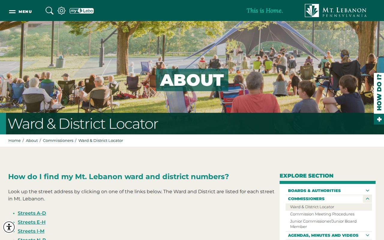
The table is best used to confirm geography for one address. It does not state who receives mail or lives along a listed street segment.
Mount Lebanon ZIP Code USPS Checks
Use the USPS ZIP Code Lookup with a complete address to verify delivery geography. Its official modes include address-to-ZIP, city-and-state-to-ZIP, and ZIP-to-city checks. The address-to-ZIP path is the most precise when a street and house number are already available. Postal results confirm delivery geography, not whether a named person or organization is at that location.
| USPS lookup mode | Useful Mount Lebanon question |
|---|---|
| Address to ZIP | Which delivery ZIP belongs with a full Mount Lebanon address? |
| City and state to ZIP | Which ZIP choices are returned for a postal city reference? |
| ZIP to city | Which city wording USPS associates with an entered ZIP? |
The image below comes from the official USPS ZIP Code Lookup.
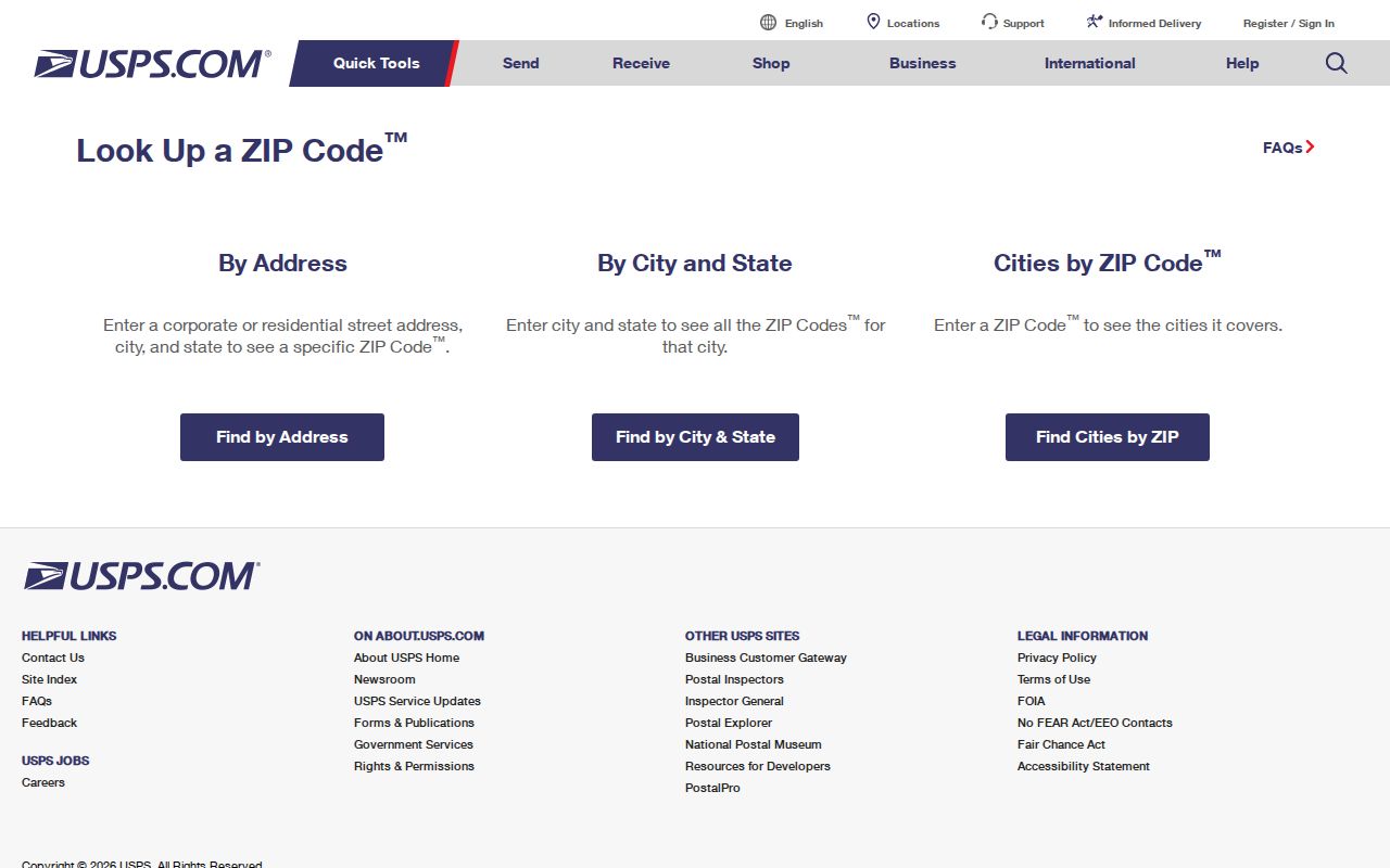
Keep the USPS result with the typed address. It is a delivery check and should not be used as a resident search result.
Mount Lebanon ZIP Code Postal Context
Postal city names and municipal boundaries answer different questions. An address written as Pittsburgh, PA 15228 can still be within the Municipality of Mt. Lebanon, while another municipal street segment may use a neighboring ZIP. The Mount Lebanon Classified Station was discontinued on March 11, 2011, so a modern ZIP should not be used to infer that a current named Mount Lebanon postal station exists. Confirm the delivery result instead.
This postal quirk matters in record searches. County systems may organize a parcel by municipality, street, or parcel identifier rather than mailing ZIP. A ZIP can help detect an address mismatch, but the municipality, legal description, and parcel are stronger bridges to an official property record.
Use the sequence that matches the evidence in hand. A full address goes first to USPS and then to the County property portal. A parcel number goes directly to the County property route and can then be compared on GIS. A historical deed may identify a subdivision or legal description instead of a modern delivery address, so it should go to the recorder’s land-record index and, for older material, the historical county or State Archives route. This keeps a Mount Lebanon ZIP code directory search from forcing every record into a postal field it does not use.
Mount Lebanon ZIP Code Address Trail
A ZIP code does not produce a public Mount Lebanon roster. The County Real Estate Portal’s captured screen is address- and parcel-number based, not ZIP-filter based. Its address workflow asks for house number, street name without a suffix, and an optional municipality. The UJS advanced form displays a Parcel ZIP Code field, but a court address criterion is not a postal directory. Treat the ZIP as a verification step before a narrower parcel or court search.
- Confirm the full delivery address and ZIP with USPS, then compare the street range to Mount Lebanon’s locator.
- Enter the house number and street name without Street, Drive, Circle, or another suffix in the County Real Estate Portal. Select Mount Lebanon only when it helps distinguish a matching street.
- Save the returned parcel identifier and use the County GIS map to understand its location and parcel boundaries.
- Use the parcel or an independently known party name in the recorded-land index when the question is about a documented transfer rather than delivery geography.
Once a ZIP has narrowed an address, the full by-address chain belongs on the Mount Lebanon street directory. That route distinguishes physical property, owner mailing, and tax mailing fields instead of treating the ZIP as a person identifier.
Mount Lebanon ZIP Code Property Search
The County property portal is the practical record bridge after delivery ZIP verification. It does not expose an owner-name field on its public landing screen. If the starting point is a name, use the Division of Real Estate grantor/grantee index or another documented clue first. If the starting point is an address, use the portal’s visible fields and return to the recorder after obtaining a parcel number.
| Property portal field | Use after a ZIP check |
|---|---|
| Search by Address | Select this mode when the full delivery address is known. |
| House Number | Enter the street-number component. |
| Street Name | Enter the name without a suffix such as Dr., Cir., or Street. |
| Municipality | Optional. Narrow to Mount Lebanon when it resolves similar streets. |
| Search by Parcel Number | Use the parcel identifier after it has been found. |
The portal can relate an address to a parcel, but its owner-mailing and tax-mailing fields are administrative data. They should not be presented as proof that a named person lives at the physical property location.
Mount Lebanon ZIP Code Map Access
Mount Lebanon’s maps page identifies public street-address, zoning, school, park, ward/district, and historic-district maps through its Customer Service and map-request route. Those maps can help check a street segment after a ZIP is verified. They are geographic context, not title evidence or a directory of people. County assessment and land-record sources remain the proper records channels for a parcel or recorded document.
The image below comes from Mount Lebanon’s official public maps and map-request information.
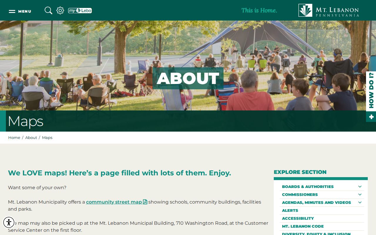
A map can test whether a street falls within municipal geography, while USPS confirms the delivery ZIP for a specific address.
Mount Lebanon ZIP Code Street Changes
Historic address work needs an extra name check. Ordinance 894 in 1930 changed Castle Shannon Road to Castle Shannon Boulevard, Meadowcroft Avenue to North and South Meadowcroft, Walnut Street to Whitmore, and Virginia Avenue to Vallevista. Ordinance 2130 in 1960 changed Highland Terrace names, including Sunridge Drive to Vallimont Drive and Terrace Drive to Sunridge Drive. No municipality-wide renumbering year was found.
Compare the legal description, subdivision plan, parcel boundary, and historic map before treating an old street label as the current delivery address. Before Mount Lebanon became a separate township in 1912, land could appear under St. Clair, Upper St. Clair, or Scott Township. Note: A historic place name or ZIP-like mailing term is not a substitute for the parcel record.
Mount Lebanon ZIP Code Boundary Limits
ZIP boundaries do not equal Mount Lebanon’s municipal boundary. An address with a Pittsburgh postal city and a Mount Lebanon street can be locally correct, while addresses inside the municipality can use nearby ZIP codes. For records work, use the delivery ZIP to check the address, then use municipality, parcel, and legal-description details to establish the correct record path. Do not infer a person’s presence from a postal result, property mailing field, or a ZIP alone.
- ZIP and ZIP+4
- A five-digit ZIP identifies a broad delivery area. ZIP+4 adds a more specific delivery segment, not a property ownership or residency finding.
- PO-box ZIP
- A ZIP assigned for post-office boxes. The research did not identify one for Mount Lebanon’s municipal ranges.
- Unique ZIP
- A ZIP used for a single organization or site. No such Mount Lebanon ZIP was verified in the research.
- Carrier route
- A postal delivery grouping used to organize mail service. It is not a public household list.
Address check. Confirm a full address through USPS, then use Allegheny parcel and land records for property questions. Keep postal delivery and public-record purposes separate.