
Mount Lebanon Neighbors Block Sources
A Mount Lebanon neighbors search is most accurate when each source is kept in its lane. A parcel map shows spatial layout. A property record can relate an address to a parcel and administrative owner information. A recorded deed establishes parties to a document at a point in time. None of those sources is a household roster. Use the map to define the physical block first, then move to the record that answers the actual property or historical question.
| Block source | What it contributes | Access and limitation |
|---|---|---|
| Allegheny County GIS Viewer | Parcel outlines, address search, measurement, and spatial layout | Public map, not a named-resident display |
| County Property Portal | Address or parcel candidate and property-record route | Current property information, not a household roster |
| Recorder land index | Documentary parties and transfer history | Role and date do not establish occupancy |
| Municipal permits | Site work and inspection history where retained or releasable | Account, counter, or RTKL route; no historical public results screen verified |
| Library or Historical Society | Local-history context and voluntary research community | No membership directory or roster is asserted |
An owner, a mailing addressee, and a current occupant can be different people. Allegheny assessment practice distinguishes the physical property, owner mailing, and tax mailing addresses. Those labels are useful administrative facts, but they should never be converted into a conclusion about who your neighbors are.
Define a Mount Lebanon Neighbors Block
The County GIS viewer is the public map layer for a block question. It supports address search, parcel information, layers, pan and zoom, distance and area measurement, printable maps, sharing, and basemap changes. Find the address, open its parcel, pan along the street segment, and note the parcels that meet it at a side, rear boundary, corner, road, alley, or easement. The official description does not promise a custom radius tool, owner-name lookup, or a complete list of map layers.
The image below comes from Allegheny County’s GIS viewer information.
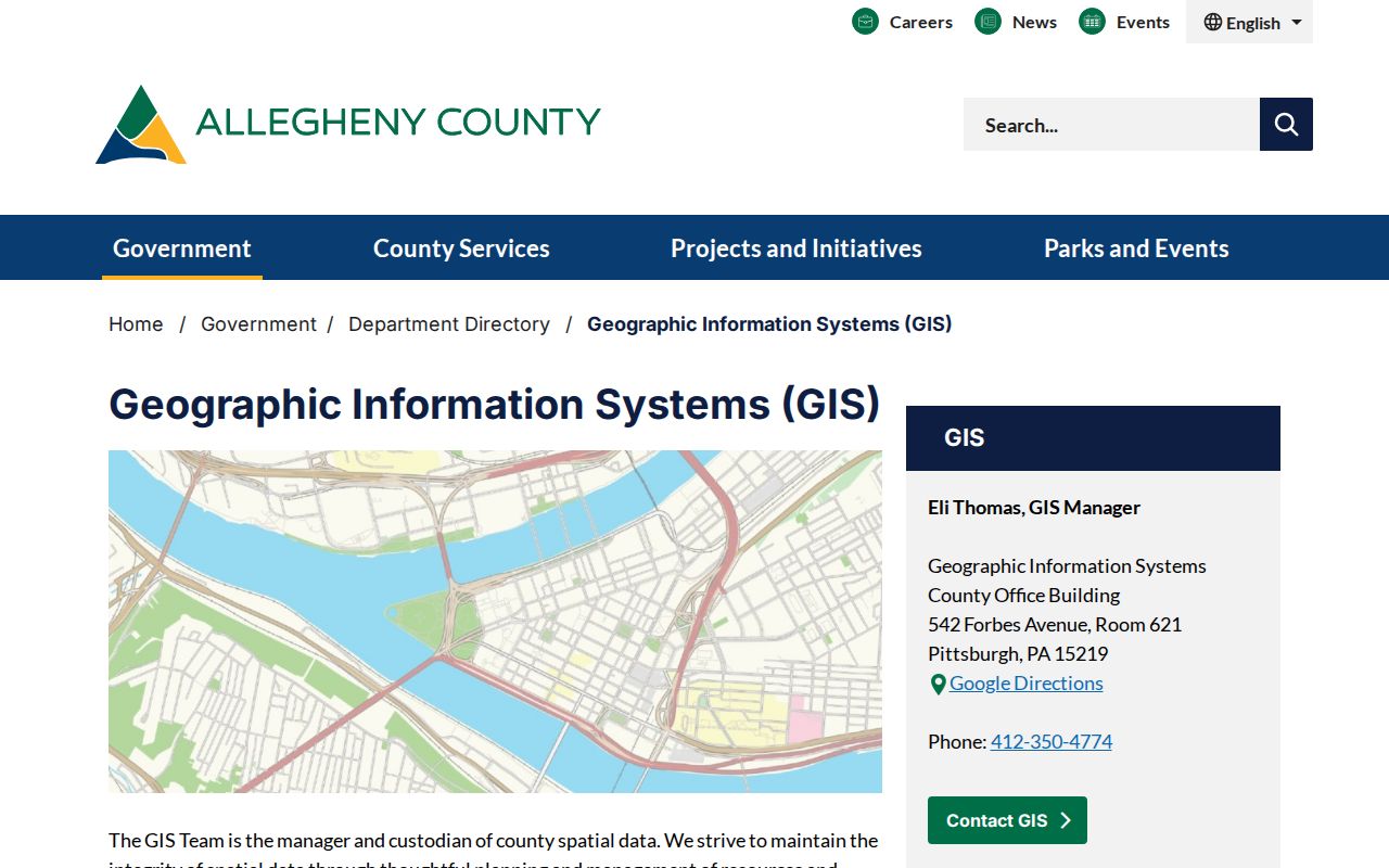
The viewer supplies the physical relationship among parcels. It does not turn the block into a list of residents.
Mount Lebanon Neighbors Parcel Layout
Parcel boundaries make the map method more precise. Identify the focal parcel, then record each adjacent parcel ID or address and describe its relationship accurately. A left and right street neighbor may differ from a rear-boundary parcel or a corner parcel separated by a road. The County’s map service provides public parcel geography, while the property portal and recorder are the next record paths.
The image is from the County’s public parcel map service.
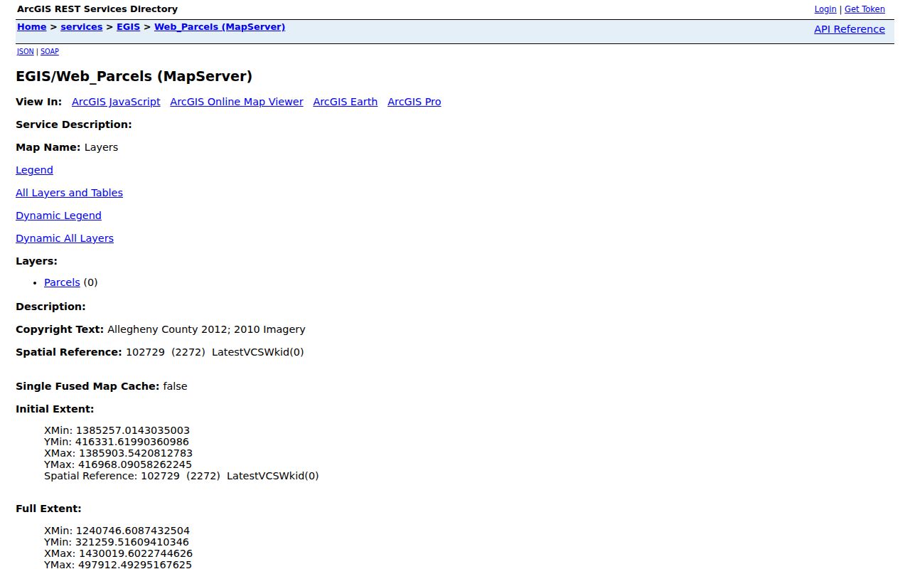
Parcel outlines are a geographic aid. They do not supply a person’s current address or household membership.
Map Mount Lebanon Neighbors by Parcel
The adjacent-parcel method follows an address into documented geography and then into property records. It begins with the County GIS viewer, not an assumed list of nearby people. A parcel number is the bridge from a map to the County property portal. A recorded document can then add the named grantor or grantee, date, document number, and legal-description clue. Record the role and date with every name.
- Search the verified address in County GIS and open the focal parcel.
- Pan outward and list only parcels that actually touch, corner-connect, or are separated by a clearly described street or right-of-way.
- Use each parcel ID or address in the County property portal. Preserve physical, owner-mailing, and tax-mailing labels exactly as presented.
- For a documented transfer, search the known party or legal-description clue in the Division of Real Estate’s official land index.
The method produces a bounded property trail. For the longer record chain along a named street, use the Mount Lebanon street directory rather than expanding a block map beyond its purpose.
Mount Lebanon Neighbors Land Records
The Allegheny Official Record Search accepts a grantor or grantee, subdivision words, document type, document number, and recorded-date range. It also offers index-only and index-plus-full-text OCR scope. Search a party or legal-description clue after the parcel route has supplied context. A street address is not a reliable universal deed key because older instruments can use lot, block, subdivision, tract, bearings, or predecessor-jurisdiction wording.
A buyer is the grantee and a seller is the grantor. To trace earlier transfers, find the prior owner as a grantee in an earlier instrument and compare the legal description, rather than relying solely on the modern street label. The web search is public; image and copy access may require the account, cart, counter, mail, or historical-record route. Note: A recorded party is not automatically a current neighbor.
Mount Lebanon Neighbors Election Limits
Pennsylvania’s voter-registration-status form is an individual confirmation tool, not a block display. It cannot be used to generate a named roster of nearby registered voters. Questions about legally releasable election records should go to Allegheny County Elections through the current official request path. The statewide service, county office, and a written request are distinct channels with different rules.
Even where an official election record can be requested for an authorized purpose, ballot choices are not public. A registration change, move, name change, protected status, or query mismatch can explain a non-match. The safe conclusion from a map is simply the parcel relationship, not a person’s registration or presence.
Mount Lebanon Neighbors Community Links
Mount Lebanon’s community layer is voluntary and relationship-based. The municipality’s community-links page is the practical public starting point for organizations and public contacts. The research did not find an official municipality-wide neighborhood-association roster or a public member directory. Avoid treating an organization name, meeting notice, or membership benefit as evidence that a particular person lives on a block.
The image is from Mount Lebanon’s community organizations directory.
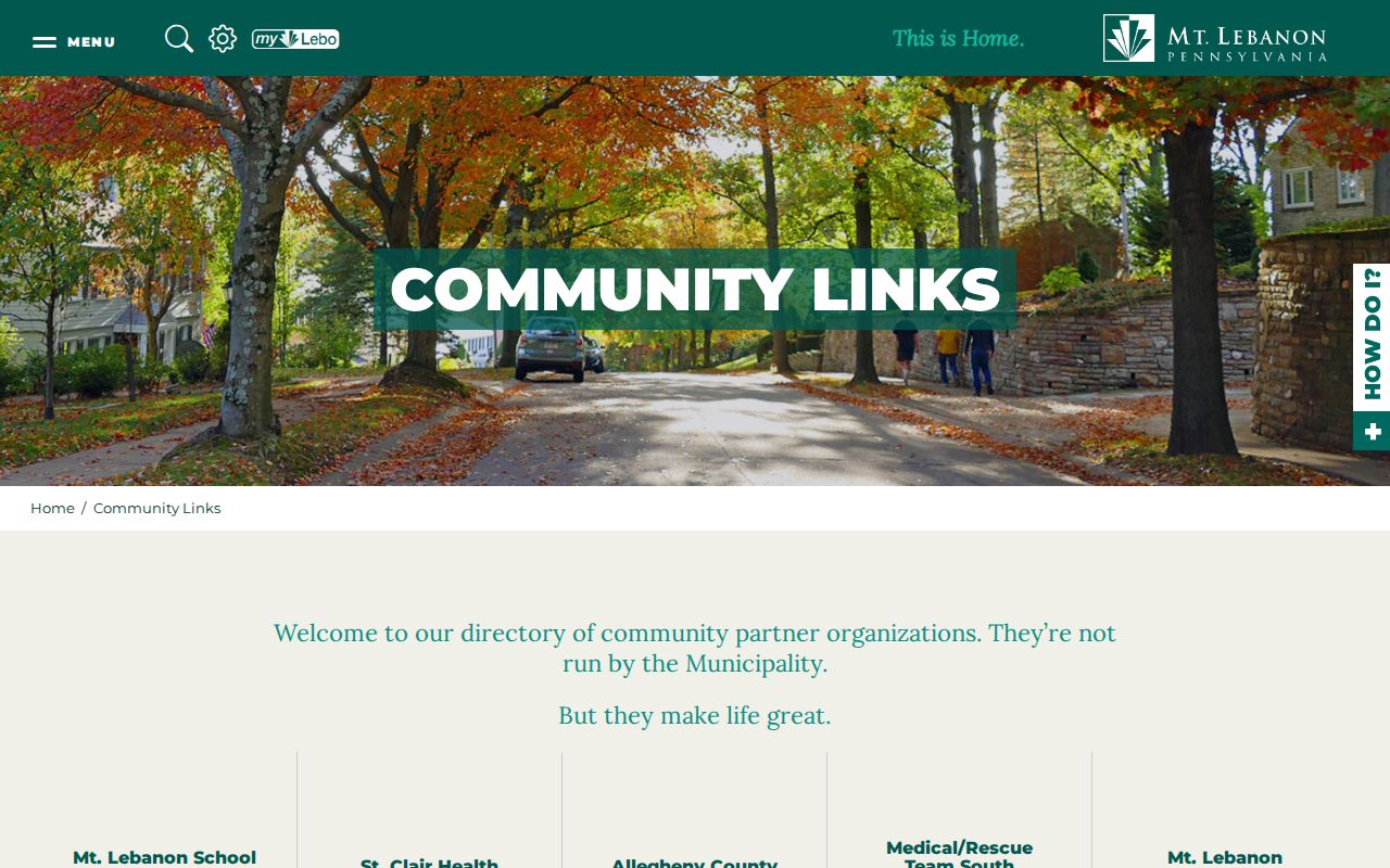
Public organization pages can help someone find a voluntary point of contact. They do not supply a neighbor roster.
Mount Lebanon Neighbors Civic Context
For current civic or project context, Mount Lebanon’s agenda and minutes archive retains three years and provides Agency and Item Type filters for agenda, discussion agenda, hearing, minutes, video, workshop, and other items. It is not a permanent historic archive and it is not a record of every property occupant. A focused review can show a public municipal discussion tied to a place or project without making claims about the people around it.
The image comes from the municipal agenda and minutes archive.
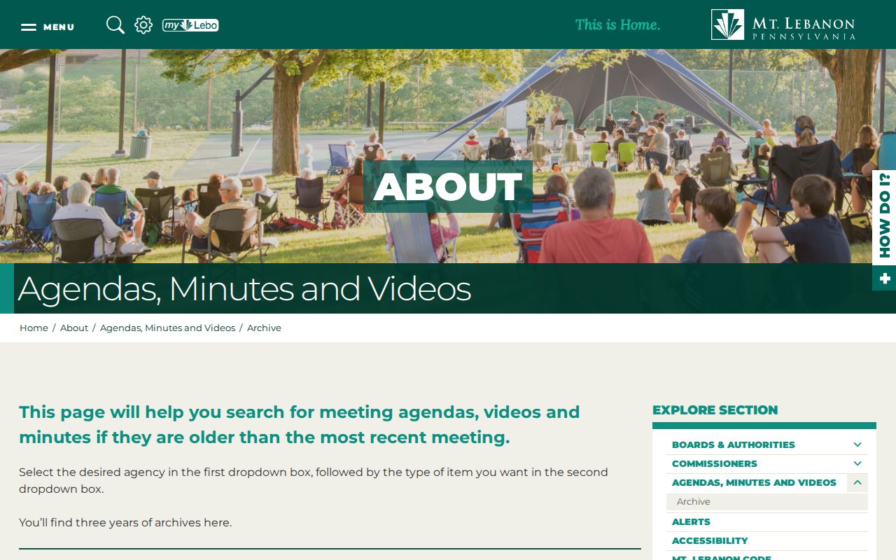
Use a date, agency, and item type to narrow a civic search. The archive should not be treated as a neighborhood directory.
Mount Lebanon Neighbors Source Comparison
Official block records and compiled people-search products answer different questions. The official route begins with a specific address, parcel, map position, or recorded document. Its limits are visible: the GIS viewer maps parcels, the property portal is address or parcel based, and the recorder identifies documentary parties. A compiled service may combine material from many sources, but it can be stale, incomplete, expensive, or assigned to the wrong person. Neither category supplies a complete household list.
| Source type | Strength for a Mount Lebanon block | Necessary caution |
|---|---|---|
| County GIS and parcel record | Shows spatial parcel relationships and an address-to-parcel path | Does not display a resident roster or prove occupancy |
| Recorded-land index | Places grantors and grantees in a dated document trail | A party role does not establish current presence |
| Municipal permit or RTKL route | Can seek identifiable existing site records through the custodian | Protected and unavailable material remains protected |
| Compiled people-search category | May offer a lead to verify against a custodian | Can be inaccurate, stale, or misattributed |
If an official record is wrong, ask the controlling office to correct it with supporting documents. An assessment-address issue goes to the Office of Property Assessments; recorded-document procedure goes to the Division of Real Estate; court and election matters go to their respective custodians. The comparison is a reminder to verify a Mount Lebanon neighbors lead with the office that owns the record, not with a compiled result.
Mount Lebanon Neighbors Privacy Limits
Public property and map records do not identify all people at an address. They do not responsibly reveal minors, utility customers, delivery records, or a complete household. Pennsylvania’s Address Confidentiality Program allows eligible participants to use a designated substitute address. Court rules also protect confidential material, including many victim, minor, medical, adoption, dependency, juvenile, support, incapacity, mental-health, sealed, and limited-access matters.
County property records distinguish a property’s physical location from owner-mailing and tax-mailing information. A tax mailing address can differ because of escrow. That does not make the addressee a neighbor. The same caution applies to a deed party, a permit applicant, and a map label. Each is a limited administrative or documentary fact, not a current-presence claim.
A public-record request cannot override a confidentiality statute, privilege, court order, sealed-case rule, or protected-address program. When an online route does not provide a record, the appropriate next step may be a focused request for an identifiable existing municipal or county administrative record, a records counter, a library or archive, or a statement that the material is not public. The Pennsylvania Right-to-Know Law is a procedure for existing records, not a demand that an agency create a block list. These boundaries protect both the reader and Mount Lebanon neighbors whose information is not public.
Lawful use. Use Mount Lebanon block records for personal, civic, historical, or property research. Never use an address, map, or record detail to stalk, harass, threaten, or harm anyone.