
Finding Residents Along Mount Lebanon Streets
A Mount Lebanon address is the start of a parcel-led trail. The County Real Estate Portal can connect a house number and street name to a property candidate and parcel number. The GIS viewer then supplies the parcel’s map position and nearby parcel outlines. A recorded deed search can identify named parties, date, document number, and legal-description clues. These sources reveal documented property facts, not an assured list of present household members.
Keep the physical property address separate from the owner mailing and tax mailing addresses on a county assessment record. The latter two fields serve administrative notice and tax purposes. They can legitimately point elsewhere and should never be treated as proof of residency. Historic street work also requires a plan, lot, block, subdivision, or predecessor-jurisdiction clue when the current street form is absent from an older instrument.
- Search the known Mount Lebanon address in the County Real Estate Portal and record the resulting parcel identifier.
- Search the address in the County GIS viewer, then use parcel outlines to understand the street segment and physical adjacency.
- Use the recorded owner or prior-party clue in the Official Record Search, noting each grantor, grantee, date, document number, and legal description.
- For an older location, compare the parcel against a subdivision plan, historic plat, map, or predecessor-township wording.
- Use a regional directory or library source only after checking that the selected volume covers the relevant geography and year.
Mount Lebanon Addresses Into Parcels
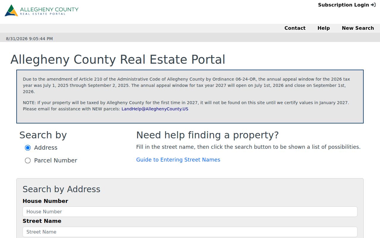
The Allegheny County Real Estate Portal is the proper public entry point for an address clue. Choose Address, enter the house number and street name without a suffix such as Street, Drive, or Circle, and select Mount Lebanon only when it helps separate matching streets. The municipality field is optional, and the portal advises leaving it blank when unknown. The public landing screen offers address and parcel-number modes, not an owner-name search.
| Property-search control | Format | Use along a street |
|---|---|---|
| Search by Address | Choose one search mode | Begin with a house number and street. |
| Search by Parcel Number | Choose one search mode | Return to a known County parcel. |
| House Number | Text entry | Enter the street number component. |
| Street Name | Text entry | Omit the street suffix and use choices returned by the portal. |
| Municipality | Optional dropdown | Narrow to Mount Lebanon when necessary. |
County assessment material distinguishes the physical property location, owner mailing address, and tax mailing address. A parcel is the assessment unit, while a situs address is where that parcel sits. Those labels give the street directory a disciplined way to describe the record without overstating who is at a location.
The County address and parcel search shows the public fields used to start a Mount Lebanon street search.
Copy or counter channels remain available for records that need more detail than the public landing screen supplies. The County lists property record cards and historical assessment material through its copy procedures.
Mount Lebanon Street Map Workflow
The County GIS Viewer is the spatial bridge in a by-address search. Its public description promises address search, parcel information, layers, pan and zoom, measurement, printable maps, sharing, and basemap changes. Search an address, open the matching parcel, pan along the road segment, and note which parcels meet, corner, or are divided by a street, alley, or easement. This produces a physical layout, not a people roster.
Mount Lebanon’s Parcel & Zoning viewer supplies a second public map route. It supports Site Address, Parcel, and Esri address searches; a selected parcel exposes a County Parcel ID that can be carried to the assessment and recorder systems. Its visible tools include Legend, Layer List, Measurement, Draw, Print, and Query. Query-result export is disabled, and the municipality describes the map as informational rather than a legal, engineering, or surveying product.
- Parcel
- A County property unit shown by assessment and mapping systems.
- Plat or plan
- A recorded map that can supply lot, block, or subdivision context.
- Situs
- The physical location field for a parcel.
- Criss-cross directory
- An address-organized directory format, if a repository confirms the relevant volume.
Mount Lebanon Deed Chain by Address
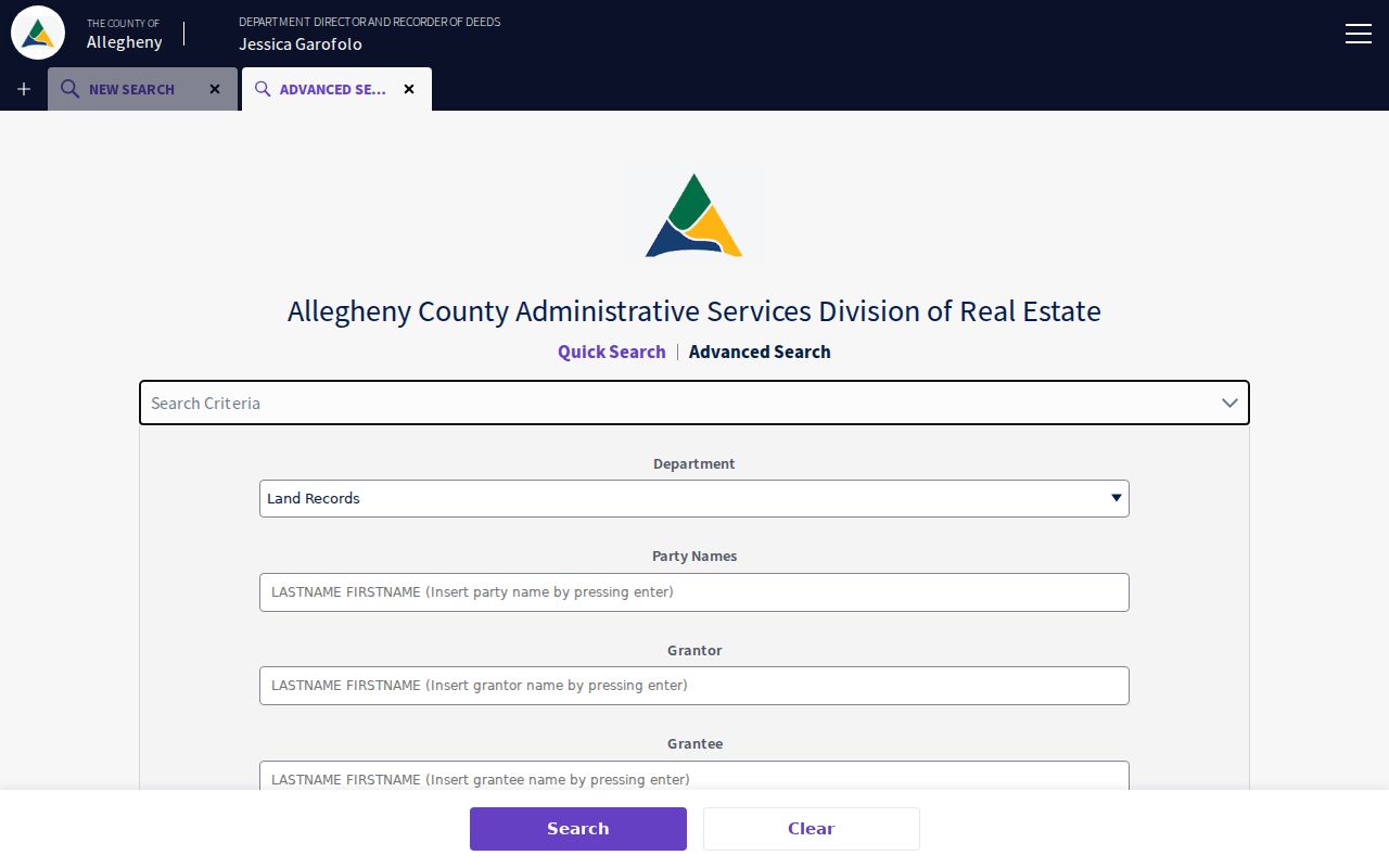
Once the parcel or an owner clue is known, use the Allegheny Official Record Search to follow recorded-land evidence. The quick search accepts a term for grantor/grantee, subdivision, document type, or document number, a recorded-date range, and either Index Only or Index & Full Text OCR. The advanced search has separate Grantor and Grantee fields, document number, book, page, OCR phrase, and Parcel ID. A street address is not a universal deed key because older instruments often use lot, block, tract, subdivision, bearings, or predecessor-jurisdiction wording.
In an acquisition deed, the buyer is the grantee and the seller is the grantor. To move backward, locate the earlier deed in which the prior owner was a grantee, then compare the legal description before joining it to the later property. Record party spelling, role, recording date, document number, and plan or subdivision clue at every step. A refinancing document, estate, corporate transfer, or a renamed road can break the simple chain and calls for a counter, plat, probate, or archival search.
The Allegheny advanced land-record search displays the separate party, document, date, OCR, and parcel controls used for a documented Mount Lebanon deed trail.
State Archives material confirms Allegheny deed books for 1788 through 1871. For older periods, use the historical county route and Archives guide instead of assuming the online index has a published start date.
Records Along a Mount Lebanon Street
Address-keyed records should be read as separate layers. A County property record helps locate and identify a parcel. Recorded instruments document parties and land transactions. A map shows geographic position and parcel edges. A municipal permit can date a project or identify an application record, subject to access rules. None becomes a full current household list when combined, and the voter-status form is an individual confirmation tool rather than a public street display.
| Address-keyed record | Keeper | Documented value | Access channels |
|---|---|---|---|
| Assessment parcel record | Allegheny Property Assessments | Parcel and physical, owner-mailing, and tax-mailing addresses | Portal, counter/copy request, and County contact. |
| Recorded deeds, mortgages, plans | Division of Real Estate | Parties, date, document, and legal-property clues | Official index, account/copy route, Room 101, mail, and historical channels. |
| Parcel map | Allegheny GIS | Location, parcel boundaries, and adjacency | Public viewer, printable map, and open GIS services. |
| Permit or inspection material | Mt. Lebanon Inspection Office | Site work, applications, and inspections where retained and releasable | Account portal, counter, telephone, or focused RTKL request. |
| Code material | Municipal code officer | Site-compliance notices or citations, subject to exemptions | Code officer or RTKL request. |
Note: A street name connects the layers geographically, but the parcel identifier and legal description are usually the more dependable bridge to land records.
Mount Lebanon Permits by Address
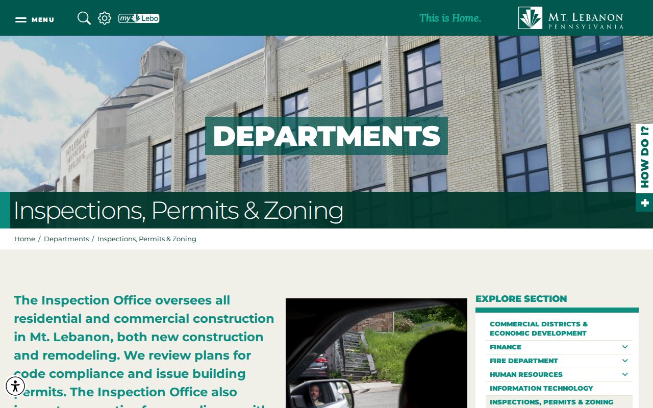
Mount Lebanon’s Inspection Office creates address-specific permit, plan-review, inspection, zoning, certificate-of-occupancy, complaint, and code-enforcement material. The municipal permits page lists project types such as additions and alterations, demolition, fence, grading, kitchen or bath remodels, new construction, pool, porch enclosure, solar panels, retaining walls, and sheds. A permit is evidence that a project was proposed, approved, or inspected. It does not list all people connected to a dwelling.
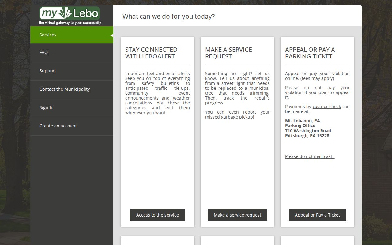
The online MyLebo and Municity Connect workflow requires both accounts for applications, document uploads, inspection requests, complaints, and tracking. The public instructions do not establish an anonymous historical permit-results database. When an online search is unavailable, use the Inspection Office counter, call 412-343-3408 with the address and inspection type, or request a defined existing municipal record by address and date range. The municipality notes that it has a survey only when one was needed for a permit and supplied by an owner.
The Mount Lebanon permits and zoning office identifies the local address-based permit and inspection route.
Permit cards are displayed at approved project locations, but the card and application record should be read as project documentation, not a resident listing.
The MyLebo permit and inspection portal represents the account-based part of the Mount Lebanon address-record workflow.
Ask the office which existing records are available before assuming that a current online application screen reaches older files.
Mount Lebanon Street Name Crosswalk
Exact-address searching can fail when the road name changed. Ordinance 894, adopted in 1930, records Castle Shannon Road becoming Castle Shannon Boulevard, Meadowcroft Avenue becoming North and South Meadowcroft, Walnut Street becoming Whitmore, and Virginia Avenue becoming Vallevista. Ordinance 2130, adopted in 1960, records Highland Terrace changes including Sunridge Drive to Vallimont Drive and Terrace Drive to Sunridge Drive.
No authoritative municipality-wide renumbering year was located. Compare a deed’s legal description, plan, parcel boundary, and historic map before deciding that an old address is the modern one. The municipal Code and official-office resource is helpful for identifying the local rule source, but it is not a street search engine.
The Mount Lebanon Code and municipal-records page is the official entry point for the municipal code, charter, zoning, and office contacts.
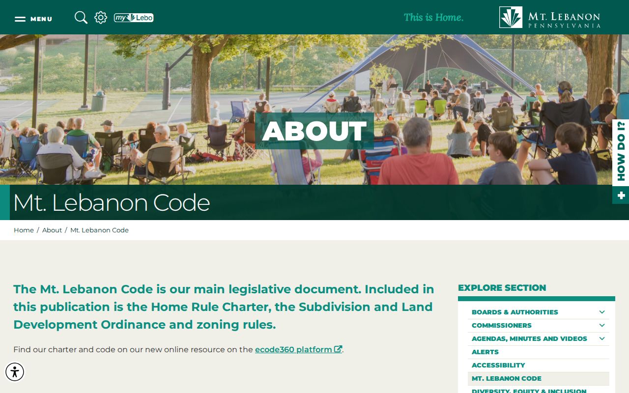
Use the documented street crosswalks as search clues, then verify continuity with a parcel, legal description, plan, or recorded instrument.
Mount Lebanon Plans and Parcels
Mount Lebanon’s development history provides useful land-record context. The first Mt. Lebanon Plan was laid out in 1901, Clearview followed in 1902, and 11 subdivisions had been approved by 1905. The municipality became a separate township in 1912, so earlier property material can be indexed under St. Clair, Upper St. Clair, or Scott Township. A plan name can disambiguate a common street name and link a deed’s lot or block language to a map.
Municipal history reports that building-permit recording began in 1924 and that 2,164 permits were issued by the end of the 1920s. This makes plans, deeds, and permits a useful chronological sequence for a Mount Lebanon property, but it does not guarantee that each structure has a surviving public file. The County’s plans, block-and-lot maps, historic plats, and property-history cards are the more direct record types to seek.
Historic Mount Lebanon Street Directory Leads
Historic Pittsburgh’s directory collection can supply a regional historic name and address lead when the actual volume reaches the South Hills geography. Its online holdings cover directories from 1837 through 1930 with gaps, while the collection description spans 1815 through 1945. The year and volume matter. A search result should be checked in the scanned volume and paired with a parcel, deed, map, or census record before an old street association is treated as sound.
Carnegie Library of Pittsburgh’s Pennsylvania Department holds microfilm continuation for years that are not digitized. The Mount Lebanon High School yearbook archive is a different, locally focused cohort source and not a street list. For the collections, access routes, and image-check method, consult the Mount Lebanon city directories rather than treating regional volumes as a complete address directory.
Limits on Mount Lebanon Street Searches
A street-based record search cannot responsibly reveal a complete roster of residents, household members, minors, utility customers, delivery records, or vehicle address data. Property records, deeds, permits, and nearby parcels identify documented administrative or land facts. The state voter-status form is not a public neighborhood tool. Court and vital records have separate exclusions, and motor-vehicle information is restricted by the federal Driver’s Privacy Protection Act.
Pennsylvania’s Address Confidentiality Program is another real limit. Eligible participants use a substitute address, and a request cannot override that program, a sealed record, a court order, or other confidentiality rule. A blank result can be appropriate. Do not use a Mount Lebanon street directory to reverse-identify someone with a protected address.
Lawful personal research. Use address and land records for family history, civic curiosity, property research, or another lawful personal purpose. Do not use a Mount Lebanon street search to stalk, harass, intimidate, impersonate, or harm anyone.